UK Spring Warmth Returns Next Week After Cold Snap
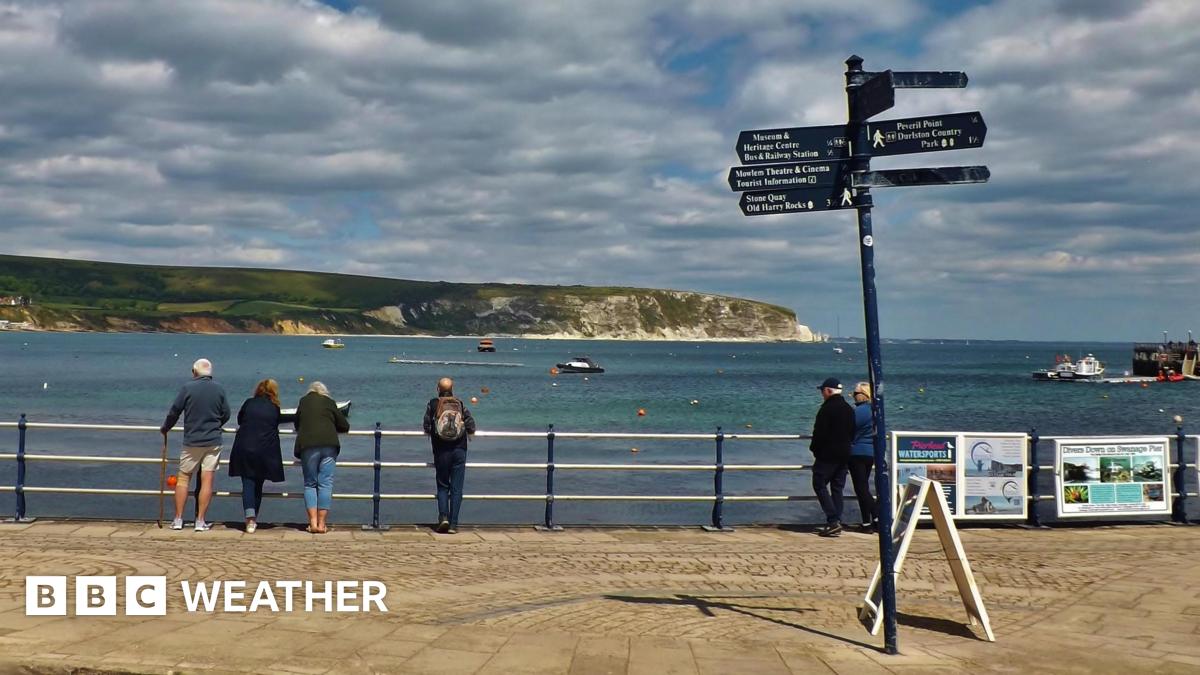
Spring warmth will return to much of the UK next week after a stretch of unseasonably low temperatures.
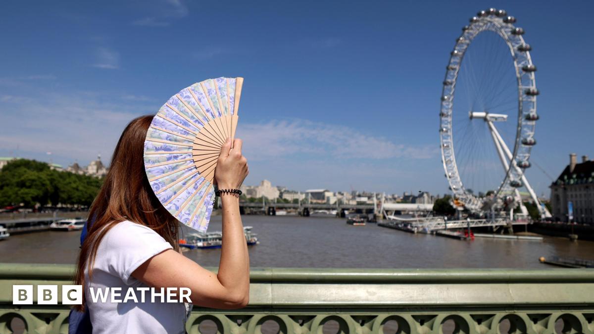
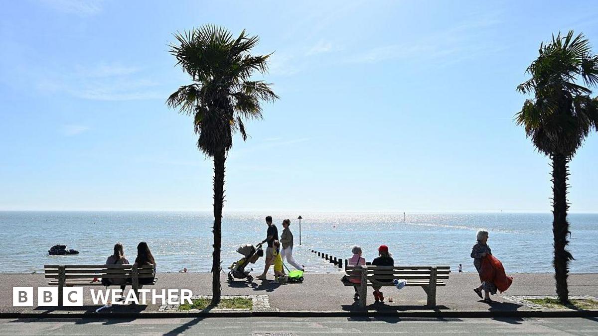
Afternoon highs could top 20C (68F) in some places. That marks a major shift from the cold snap now gripping the country.
Warmer conditions will not guarantee dry weather and sun everywhere. Fronts will bring rain at times, especially in the north and west.
The temperature rise will come gradually. Chilly air will linger for the next few days.
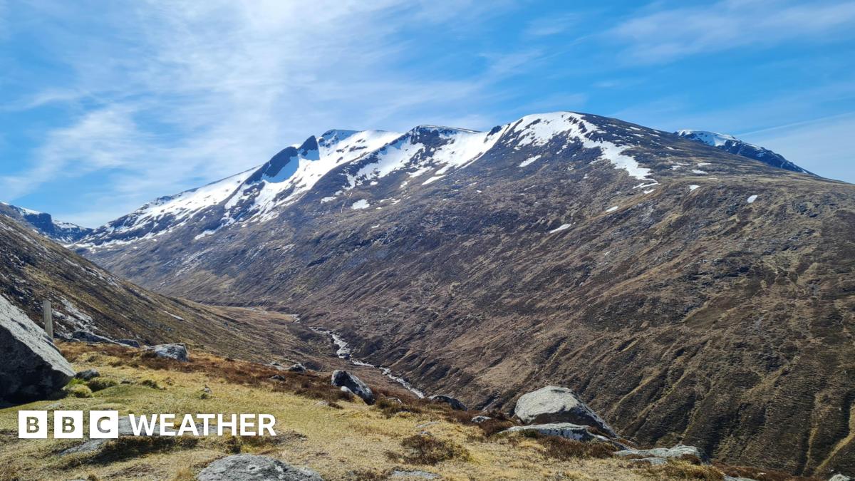
Northerly winds currently push cold Arctic air across the UK. Daytime temperatures sit several degrees below seasonal norms, with late-season frosts possible at night.
This cold air persists through Wednesday, Thursday and Friday. Expect daytime highs of 9-14C (48-57F), sunny spells, blustery showers and overnight frost risks.
The pattern stems from high pressure in the Atlantic and low-pressure areas to the north and east of the UK. Those features drive the northerly winds.
Over the weekend, that setup begins to change, slowly but steadily. Westerly winds take over, and by Sunday temperatures should match mid-May averages of 12-18C (54-64F).
Next week remains distant for precise forecasts, so exact figures could shift. Still, computer models point to highs in the high teens or low twenties Celsius across many areas.
Southern England and Wales might even hit the mid-twenties Celsius. Outcomes hinge on high- and low-pressure positions, air warmth and sunshine amounts.
What's Your Reaction?
 Like
0
Like
0
 Dislike
0
Dislike
0
 Love
0
Love
0
 Funny
0
Funny
0
 Wow
0
Wow
0
 Sad
0
Sad
0
 Angry
0
Angry
0


Comments (0)