Forecasts Predict One of Strongest El Niños on Record with Record Global Heat Risks
New forecasts indicate growing confidence that an El Niño forming in the tropical Pacific Ocean could rank among the strongest on record, raising warnings of record global temperatures and major humanitarian consequences.
Parts of the Pacific have warmed quickly, with data this week showing sea surface temperatures 0.5C above normal, one marker for El Niño onset, a natural warming of the Pacific.
The event should strengthen over coming months and peak as a very strong, or super El Niño, in autumn.
Scientists worry about its effects on global weather patterns, raising the odds of 2027 becoming the warmest year on record.
The National Oceanic and Atmospheric Administration's latest outlook puts the start of El Niño within the month. It raised the odds to two in three for a strong or very strong event by winter.
Tropical Pacific waters have warmed rapidly in recent weeks.
Nathaniel Johnson, a NOAA meteorologist, called a continuation at this pace a rare occurrence, shifting from last winter's La Niña cooling pattern to a potential strong El Niño within a year.
Australia's Bureau of Meteorology uses stricter standards, requiring sea surface temperatures over 0.8C above average in the tropical Pacific. It also checks for reversed trade winds in the western Pacific, a sign that warming waters are affecting the atmosphere.
Spring El Niño forecasts have often missed the mark historically, but this year's predictions carry unusual certainty.
Forecasters focus on the Niño3.4 region, tracking three-month average sea surface temperatures against long-term norms. A strong or super El Niño tops 1.5C.
Forecasts from the European Centre for Medium-Range Weather Forecasts, NOAA and BoM align closely. The ECMWF's newest run has more than half its models showing over 2.5C by autumn.
Anything above 2.5C would count as a historically strong event, Johnson said.
BoM projections also point confidently to a very strong El Niño later this year. Some data even suggest temperatures exceeding 3C, topping the known record of 2.7C from 1877.
That figure comes from an era with sparse observations, leaving much uncertainty. The 1877 El Niño lasted 18 months and sparked a global climate disaster, with extreme drought and famine killing millions in Asia, Brazil and Africa, plus severe floods in places like Peru.
The last very strong El Niño hit in 2015-2016, when the November-December-January Niño3.4 average reached 2.4C.
Extra heat in the eastern Pacific typically lifts global average temperatures by 0.2C.
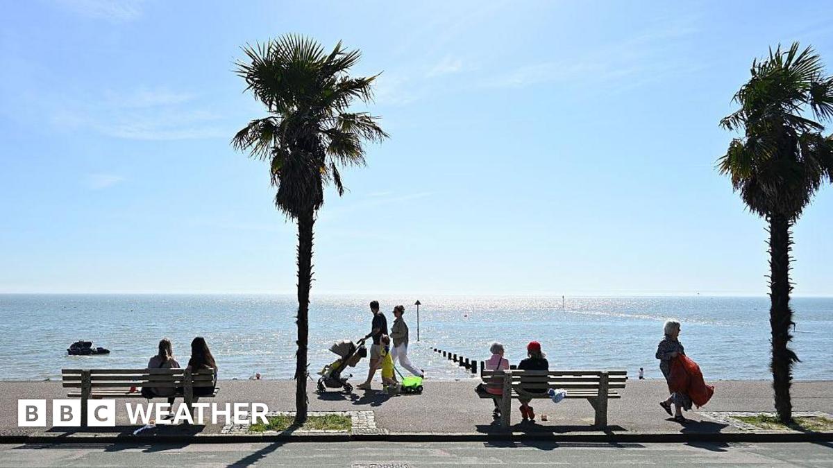
Liz Stephens, professor of climate risk and resilience at the University of Reading, told the BBC that record global temperatures look likely next year, especially with a very strong El Niño.
The 2023-24 El Niño brought the hottest year on record.
Direct weather effects cluster around the Pacific, though every El Niño varies in reach and disruption to global patterns.
Flooding often strikes northern Peru and southern Ecuador, with risks also in East Africa, central Asia and southern North America.
El Niño curbs Atlantic tropical storms. Forecasters already expect a below-average Atlantic hurricane season this year.
While that sounds positive, it means less rain and possible drought for Central America, Prof. Stephens said.
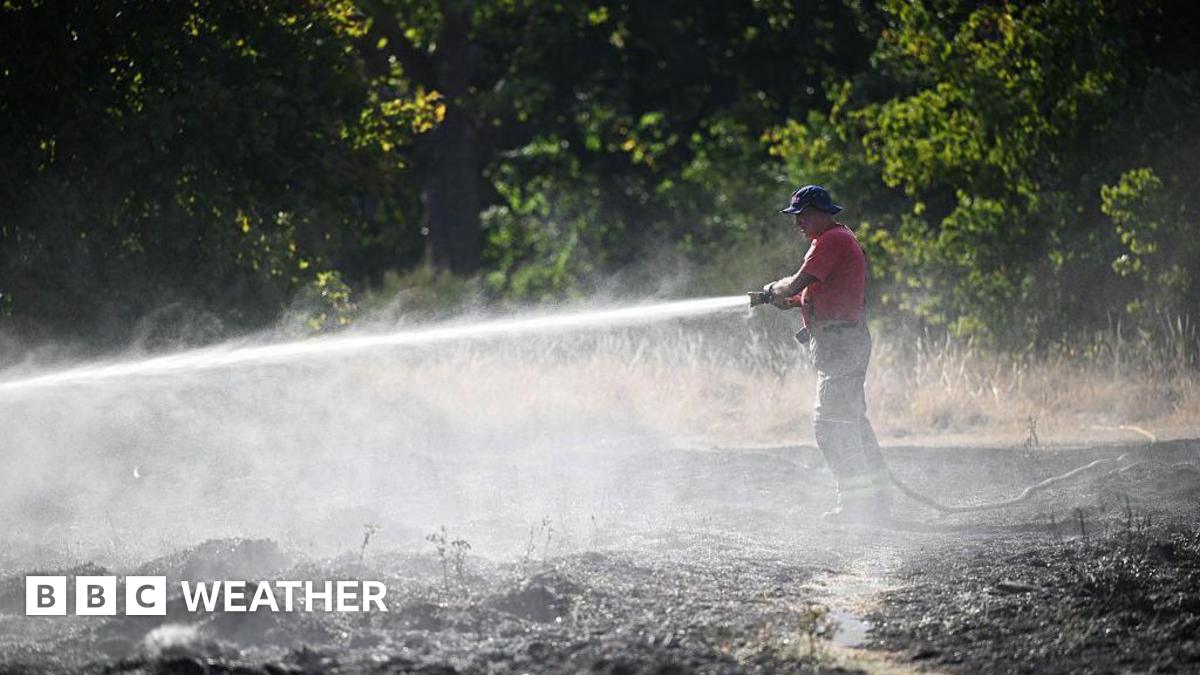
Drought and wildfires threaten parts of Australia, Indonesia and northern South America, hitting agriculture and global food supplies.
The Strait of Hormuz closure already hampers fertilizer distribution and drives up prices, setting the stage for smaller harvests, tighter food supplies and higher costs.
People in poverty face the worst if crop yields drop from El Niño droughts or floods, pushing prices higher, Prof. Stephens said. Huge humanitarian impacts loom this year, especially if the Middle East crisis drags on.
Direct effects on UK weather remain uncertain, but Met Office climate scientists note that El Niño years can raise the odds of cold UK winters.
What's Your Reaction?
 Like
0
Like
0
 Dislike
0
Dislike
0
 Love
0
Love
0
 Funny
0
Funny
0
 Wow
0
Wow
0
 Sad
0
Sad
0
 Angry
0
Angry
0


Comments (0)